Website is in under maintenance
SERVICES
- MBES
- SSS
- SBP
- Magnetometer
- 2D/3D Seismic
- Environmental
- Geotechnical
- Boulder Clearance
- Cable Lay Support
- Positioning and DOB
- Personnel Transfer
- Crew transfer
- Offshore Technicians
- Support activities
- Survey, ROV and Positioning support during decommissioning activities
HYDROGRAPHIC &
GEOPHYSICAL SURVEY
- Bathymetric survey
- Side scan sonar survey
- Magnetometry survey
- Sub bottom profiler
- Cable tracking and DOB
- Cable and pipe touchdown monitoring
- UAV
- ASV
- AUV
- ROV
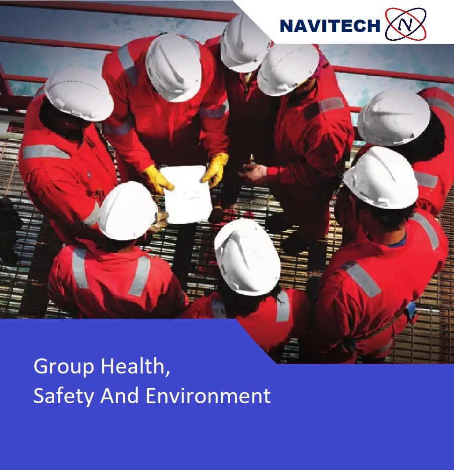
- Navitech has a fully operational Quality, Health, Safety & Environmental (QHSE) Management System in place, this is to ensure it guarantees or exceeds its Client’s requirements at a minimum, as well as attaining relevant legal standards.
- The system has documented procedures in place to ensure quality acquisition for the collection, processing,
validation of data and that the final reporting meet’s its client’s requirements. - Navitech philosophy starts from “Plan-Do-Check-Act” and as such follows the principles of continuous assessment and improvement as described by Deming (Deming Circle). Overall, Navitech commitment is to perform its projects in a safe environment and to respect the environment at all times.
- Navitech have successfully completed and incorporated
the following international certifications into their
Integrated Management System (IMS), ISO 9001.
BATHYMETRIC SURVEY
- Navitech performs Hydrographic survey for Local Authorities, Offshore windfarms, Oil and Gas Operators, the Dredging & Marine construction industry and consultants. Once data is acquired, it is corrected for tide and finally processed before it can be used to produce precise bathymetric charts.
- Navitech strives to reduce processing time while maintaining strict quality controls, in order to provide our clients with accurate information as quickly as possible.
- To ensure the highest degree of accuracy Navitech conducts aggressive review’s, verification and certifications of hydrographic data. In order to sustain professional expertise throughout the process, starting at the very beginning of the data acquisition process on the water, we deploy expert hydrographers on our survey vessels.
SIDE SCAN SONAR SURVEY
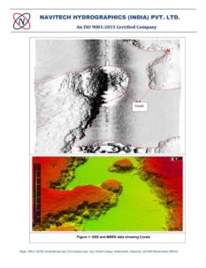
- A Side Scan Sonar system is used to efficiently create an image of large areas of the sea floor.
- Navitech uses this tool for mapping the seabed for a wide variety of purposes, including the creation of nautical charts, detection and identification of underwater objects and bathymetric features.
MAGNETOMETRY SURVEY
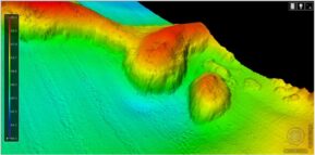
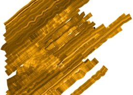
Navitech regularly uses magnetometry for the detection of
ferrous objects both on the seabed and buried beneath it.
Such survey are typically conducted for the detection of
metal debris, ammunition, pipelines etc. This requires
knowledge of :
- Principles of magnetometry
- Measuring anomalies in earth magnetic field = nT
- Anomaly measurement = amplitude and horizontal extension
As well as the location of magnetic anomalies, the survey
are typically able to deduce the mass and the shape of the
object, the expected depth of burial and other parameters
relating to the target object(s).
CABLE TRACKING AND DOB
- As well as being able to offer industry-standard tools for pipeline and cable tracking.
- Navitech are also able to offer the revolutionary Silas 3Dsystem for cable tracking.
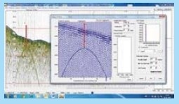
- The Silas 3D system is a unique linear sub-bottom profiler with multichannel receiver array which can be used for accurately
locating buried all types of subsea cables.
CABLE & PIPE TOUCHDOWN
MONITORING
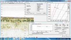

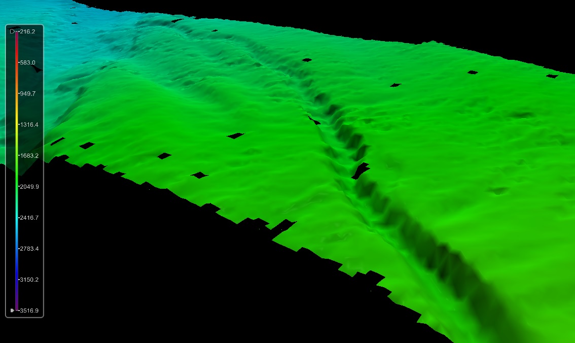
- Navitech provide survey services relating to cable and pipe touchdown monitoring using both acoustic and optical sensors.
AUTONOMOUS SURFACE VEHICLE
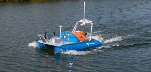
ASV – Marine Survey Drone
- Accurate bathymetry data can now be acquired using these specialist sensors integrated into Maritime Survey Drones.
- We at Navitech are therefore committed to invest in our future and our footprint.
- We have developed our own ASVs, which can carry multiple sensors.
- Our drones are now fully operational within our fleet.
- We use our ASV’s for inland and nearshore multibeam survey for major clients al over Asia
AUTONOMOUS UNDERWATER VEHICLE AUV Operations
Navitech have access to various AUVs to service our survey clients. These range from shallow to deep water and can carry an array of analogue survey sensors and cameras dependent on the scope requirements. AUVs can be launched from the majority of our fleet vessels and allow us to acquire data safely and to a very high quality in the most difficult terrains.
- Cable & pipeline detection
- Route survey
- Recovery services
- Salvage operations
ROV Operations
Navitech have a permanently-mobilized 150HP work class ROV. We are also able to supply inspection and observation-class ROVs which together can provide support for the following services:
- Subsea structure inspection
- Dive support
- Monopile inspections
- Recovery services
- Salvage operations
